Water Cycle

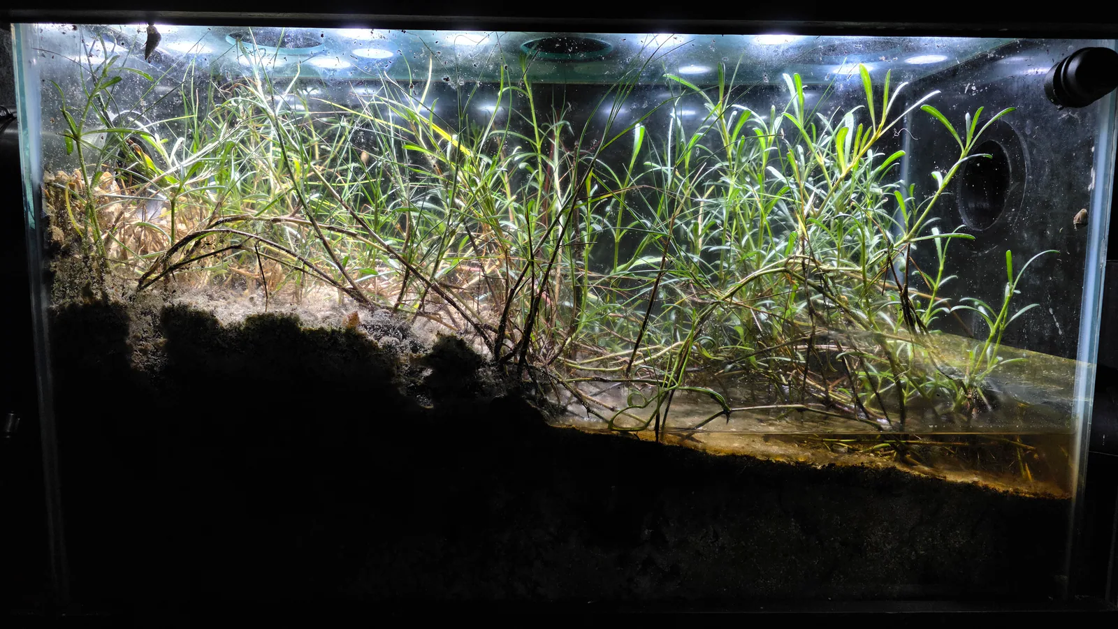
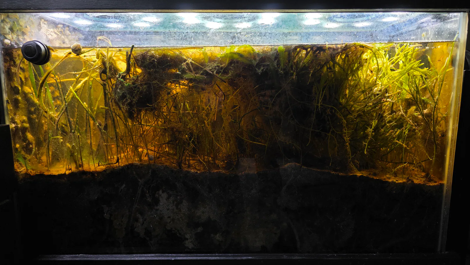
Rain in miniBIOTA follows a closed path with one shared sky and two separate subsurface routes: it falls through the biomes, drains toward the Freshwater Lake on one side and the Seagrass Meadow on the other, rises again as vapor, and condenses on the chilled glass of the atmosphere tanks above to fall once more.

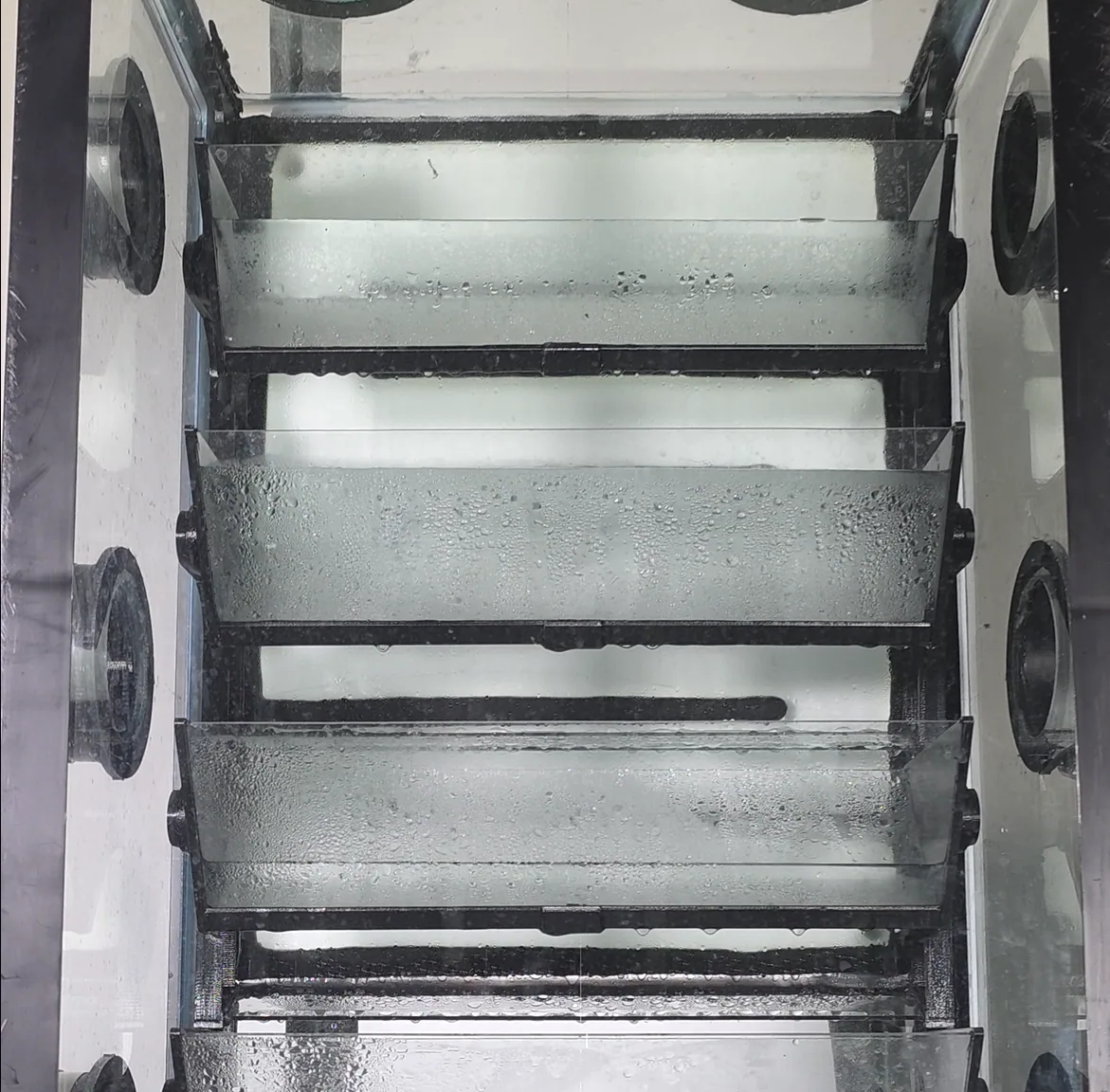
Condensation and droplets on transparent chamber shelves inside the miniBIOTA water cycle system.

Overview

The water cycle is the physical foundation of miniBIOTA. The enclosed atmosphere is shared across all six biomes, and so is a continuous above-ground habitat corridor, but the subsurface water is split into two isolated hydraulic networks. On the freshwater side, rain that falls on the Prairie drains through the Lakeshore toward the Freshwater Lake. On the marine side, rain that falls on the Mangrove Forest and Marine Shore drains from the Mangrove Forest through the Marine Shore toward the Seagrass Meadow. Water from both sides evaporates and transpires back into the shared air, condenses onto the chilled glass of the atmosphere tanks, and falls again as rain. Because the enclosure is sealed, no water enters or leaves the system except through the scheduled operation of the rain hardware, making the Climate System's chiller the single point of failure for the entire water supply. The freshwater and marine subsurface networks never exchange water; there is deliberately no subsurface connection between the Prairie and the Mangrove Forest.

What This Cycle Is

Definition and Mechanism

The water cycle, or hydrological cycle, describes the continuous movement of water between the atmosphere, land, plants, and water bodies through evaporation, condensation, precipitation, runoff, and transpiration. In a natural system, solar energy heats water surfaces and soil, driving evaporation into the atmosphere; water vapor rises and cools, condensing into droplets that form clouds; precipitation returns water to the land and sea; runoff and groundwater flow move water across the landscape until it reaches rivers, lakes, or the ocean. Plants participate actively through transpiration, pulling water from the soil through their roots and releasing it as vapor from their leaves, coupling the terrestrial and atmospheric phases of the cycle.

The cycle has no beginning or end. Any given water molecule moves continuously between liquid, vapor, and solid phases across timescales from hours to millennia, depending on where it resides in the system.

Global and Florida Relevance

Florida's water cycle is shaped by its subtropical climate, flat topography, high rainfall, and extensive wetland and lake networks. Annual rainfall across the state ranges from 50 to 65 inches, with the majority falling during the summer wet season from June through September. Florida's shallow water table and karst geology allow water to move rapidly between surface and subsurface systems; lakes and wetlands fill, drain, and dry in response to seasonal rainfall with relatively little buffering. This creates a dynamic freshwater landscape where organisms must tolerate seasonal fluctuation rather than a stable, year-round water table.

Florida's coastal systems add a saltwater dimension: estuaries, mangrove coasts, and seagrass beds receive both freshwater input from inland rainfall and saltwater influence from tidal exchange, creating brackish gradient zones that support some of the most productive ecosystems in the region.

Closed-System Dynamics

In miniBIOTA, the water cycle is fully enclosed and hardware-driven. Water enters only through the rain system's cloud reservoirs, which fill with condensate from the chilled rear glass of the atmosphere tanks above each biome and tip by gravity when full. There is no tidal exchange, no groundwater input from outside the enclosure, and no rainfall from weather. Within each side the connected biomes do exchange water below the substrate through passive equalizing connections, but nothing crosses the system boundary. The total water volume in the system is fixed; nothing is added or removed between rain events and evaporation losses.

This has several consequences that distinguish the miniBIOTA water cycle from any natural system:

The rain event is discrete and mechanical. Natural rainfall is continuous, variable, and storm-driven. In miniBIOTA, rain arrives in a burst when a cloud reservoir tips, potentially triggering adjacent reservoirs to cascade in sequence. The cadence is roughly every 2 to 3 weeks under normal Climate System operation, not daily or weekly as in Florida's wet season.

The chiller is the engine. Condensation on the chilled rear glass is the only mechanism that returns atmospheric water vapor to the system as liquid. If the chiller stops, the rain cycle stops. No other precipitation pathway exists. This dependency concentrates the entire terrestrial water supply into a single hardware component.

There is no drainage out of the system. In natural watersheds, water that exceeds substrate capacity runs off into rivers, groundwater, or the sea. In miniBIOTA, excess rain water must be absorbed by substrates, taken up by plants, or held at the surface until it evaporates. Each side has its own low-end aquatic basin where surface and rain drainage collects rather than flowing out: on the freshwater side the Freshwater Lake, fed downhill from the Prairie through the Lakeshore; on the marine side the Seagrass Meadow, fed downhill from the Mangrove Forest through the Marine Shore. Within each side the three connected biomes are joined by passive, open, bidirectional subsurface connections, so water level equalizes across the network and can move back up toward the terrestrial substrate as well as down; the normal connected level sits roughly 7 inches below the terrestrial substrate on each side. The Freshwater Lake and the Seagrass Meadow are the terminal downhill basins of their own sides, not of the whole system.

Nutrients and salts accumulate. Because there is no drainage out of the system, dissolved organic matter, nutrients, and any ions that enter through the rain cycle are processed internally or build up over time. In natural watersheds, these are diluted and exported downstream.

How It Works in miniBIOTA

Participating Biomes

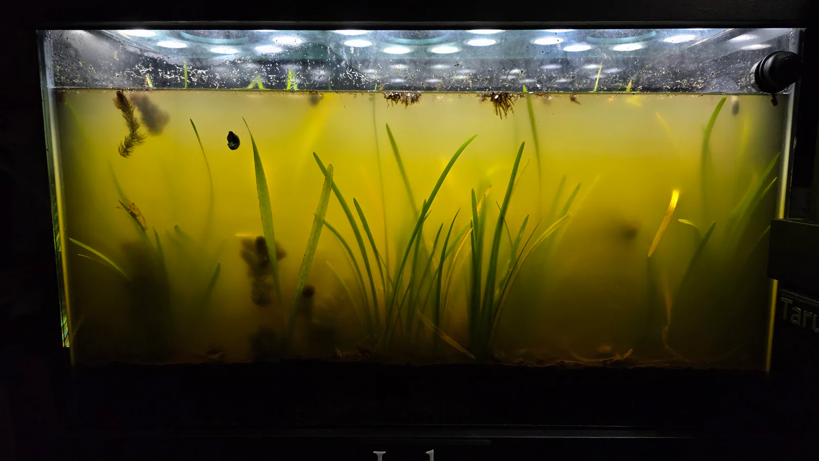
Freshwater Lake is the low-end basin and terminal downhill collection point of the freshwater-side hydraulic network, not of the whole system. It is joined to the Lakeshore and the Prairie by passive, open, bidirectional subsurface connections, so the three share one connected water level that equalizes across them; surface and rain drainage runs downhill toward the lake, but water can also move back up toward the terrestrial substrate as levels change. The lake surface is the largest open evaporation surface in the system and contributes substantially to enclosure humidity between rain events. The lake has no dedicated atmosphere tank of its own; it receives water from adjacent tanks through the subsurface network rather than from rain falling directly on it.

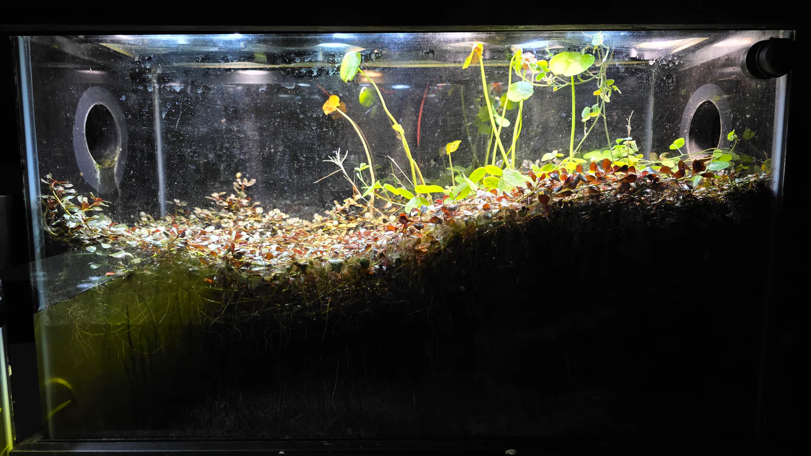
Lakeshore is the transition zone between terrestrial and aquatic water movement, and the middle biome of the freshwater-side subsurface network. Rain received from its atmosphere tank wets the substrate; surface drainage runs downslope toward the Freshwater Lake, while the subsurface connection to the lake and the Prairie equalizes water level across all three. The lakeshore substrate gradient, from moist at the lake edge to drier at the terrestrial margin, is a direct expression of the water cycle's directional surface flow.

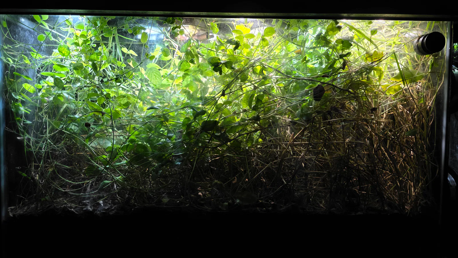
Prairie sits at the highest freshwater-side elevation and receives rain from its own atmosphere tank. It is the uphill origin of the freshwater-side drainage direction: rain that falls here moves downhill through the Lakeshore substrate toward the Freshwater Lake, and the Prairie is also the terrestrial upper member of the freshwater-side subsurface hydraulic network. The marine side has its own separate equivalent from the Mangrove Forest through the Marine Shore to the Seagrass Meadow. Plant transpiration from the Prairie's grass and forb community also contributes to enclosure humidity.

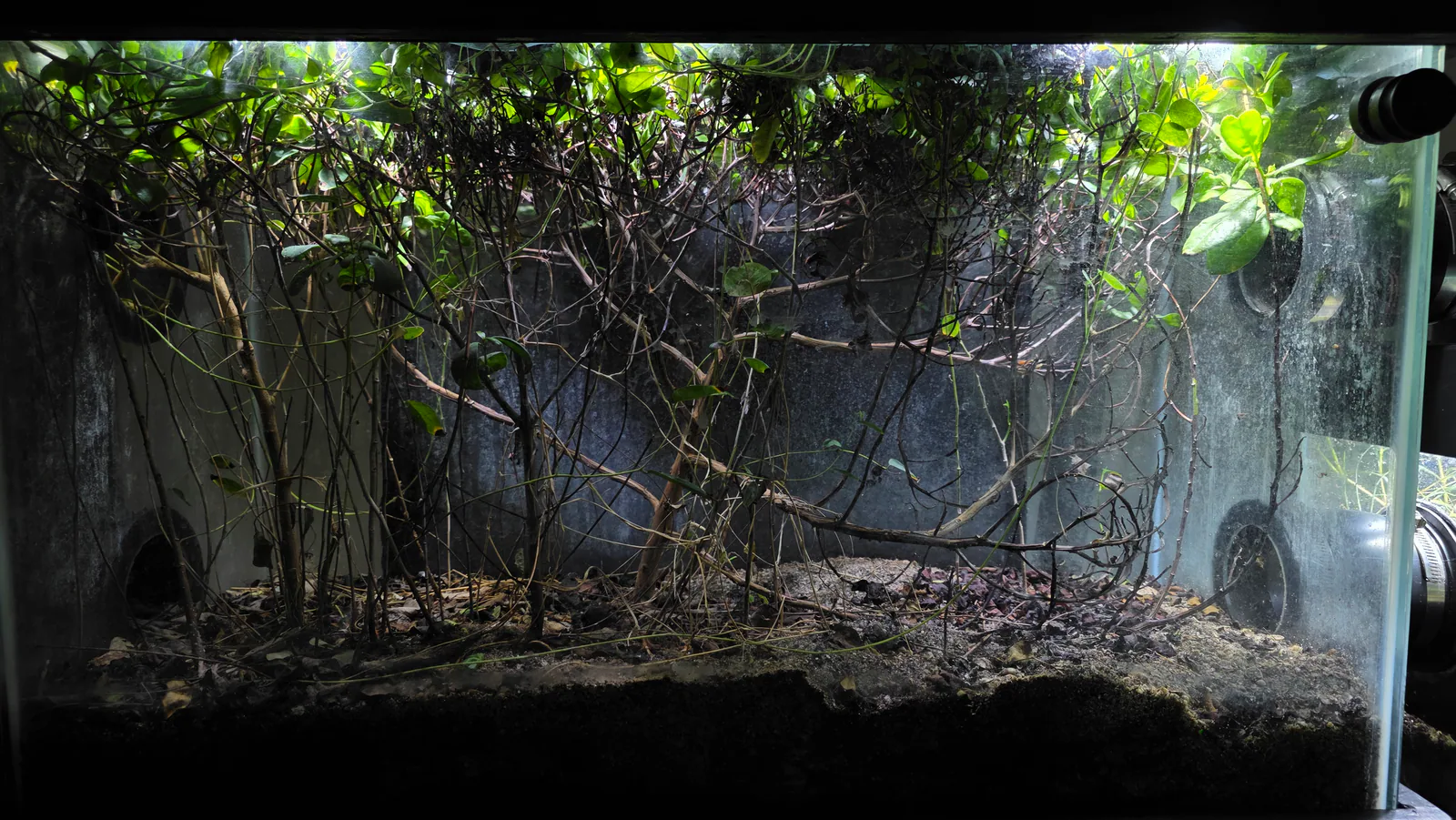
Mangrove Forest receives rain from its atmosphere tank. The moist, sheltered microclimate of the mangrove understory is partially sustained by this rain delivery and by condensation on adjacent glass surfaces. The Mangrove Forest is the uphill end of the marine-side drainage direction and the upper member of the marine-side subsurface hydraulic network: rain that falls here travels downhill through the Marine Shore toward the Seagrass Meadow, not toward the freshwater Lakeshore and Lake. It sits at the same elevation as the Prairie and is joined to it by air and by a normally-dry surface corridor, but is deliberately not connected to it below the substrate, which isolates the two water networks. The cockroach, isopod, and moisture-dependent invertebrate community in the Mangrove Forest depends on maintained humidity between rain events.

Marine Shore receives rain from its own atmosphere tank above it, and also receives surface drainage arriving from the Mangrove Forest above it. It is the intermediate shoreline biome of the marine-side network, not its low point: water continues downhill from here toward the Seagrass Meadow, and the subsurface connections to the Mangrove Forest and the Seagrass Meadow equalize water level across all three. The rain input is a freshwater addition to the marine side; with no tidal exchange there is no natural offset in the sealed system. The resulting change in salinity over time has not been measured.

Seagrass Meadow does not have a dedicated atmosphere tank and has no direct rain input on record. It is the low-end basin of the marine-side hydraulic network, sharing one connected saltwater volume with the Marine Shore and the Mangrove Forest: rain reaching the Marine Shore, and rain draining into the Marine Shore from the Mangrove Forest, becomes part of the marine water body the Seagrass Meadow belongs to. This is connected-water-body participation, not direct rain input. Whether any rain manifold outlet routes water into the Seagrass Meadow chamber directly is not currently documented.

Driving Species

Submerged macrophytes in the Freshwater Lake, particularly tapegrass and sagittaria, absorb water through their roots from the substrate and exchange gases and water through their leaf surfaces, coupling the lake substrate water with the water column above.

Terrestrial plants throughout the Prairie and Lakeshore transpire water from their leaf surfaces back into the enclosure air, contributing to the atmospheric humidity that condenses on the chilled glass to restart the rain cycle. The density and health of the plant community directly influences how much water the terrestrial biomes return to the atmosphere between rain events.

Duckweed and other floating aquatic plants cover the lake surface in some periods, reducing direct evaporation from the open water surface and shifting the balance between evaporation and transpiration as water return pathways.

Hardware Influence

Climate System: the engine of the water cycle. The chiller circulates a water-glycol coolant mixture through four custom heat exchangers mounted against the rear glass of the four atmosphere tanks. The chilled glass creates the temperature differential that causes humid enclosure air to condense on the interior glass surface. Without this condensation, no water accumulates in the cloud reservoirs and rain stops. The Climate System therefore controls the rate of water delivery to every terrestrial biome. The chiller is currently under repair, meaning the water cycle's rain phase is disrupted or absent as of June 2026.

Rain System: the delivery mechanism. Condensate running down the chilled glass collects in sixteen triangular cloud reservoirs across four atmosphere tanks. Each reservoir rests on a nylon-glass bearing pivot; when accumulated water shifts the center of gravity past the tipping threshold, the reservoir releases its water into the distribution manifold below. Adjacent reservoirs may tip in sequence, producing a cascade of rain from a single accumulation cycle. No pumps or valves are inside the biosphere boundary; the rain event is purely gravity-driven. The manifold hardware that routes released water into each biome below is installed but not yet fully documented.

Enclosure System: the sealed glass panels define the boundary of the water cycle. Condensation on interior glass surfaces, not just the chilled atmosphere tank glass but also side and front panels, returns atmospheric water vapor to liquid. The enclosure's seal determines whether the system loses water to the outside environment over time.

What Is Confirmed

  • The rain system collects condensate from the chilled rear glass of four atmosphere tanks and distributes it as gravity-driven rainfall into Lakeshore, Prairie, Mangrove Forest, and Marine Shore.
  • Sixteen cloud reservoirs across four atmosphere tanks form the rain storage capacity of the system.
  • Sequential cascade tipping, where adjacent cloud reservoirs tip after the first, is confirmed as a normal rain release pattern.
  • Rain cadence under normal operation is approximately every 2 to 3 weeks.
  • miniBIOTA has three connectivity layers: one enclosed atmosphere across all six biomes; a continuous above-ground emergent habitat corridor across all six (including a normally-dry open passage at the Prairie / Mangrove Forest center); and subsurface water split into two isolated hydraulic networks, freshwater (Freshwater Lake, Lakeshore, Prairie) and marine (Mangrove Forest, Marine Shore, Seagrass Meadow). There is deliberately no subsurface connection between the Prairie and the Mangrove Forest.
  • Within each network the lower connections are passive, open, and bidirectional, so water level equalizes across the three connected biomes; the normal connected level sits roughly 7 inches below the terrestrial substrate on each side (documented from Josue's account of the installed system).
  • The normal surface and rain drainage direction is Prairie through the Lakeshore toward the Freshwater Lake on the freshwater side, and Mangrove Forest through the Marine Shore toward the Seagrass Meadow on the marine side. The Marine Shore is the intermediate shoreline biome, not the marine-side low point; the Seagrass Meadow is the lower aquatic end. These arrows describe the normal net direction rainwater returns under gravity after a rain event, set by the elevation gradient. They are not surface-only and not one-way: the return can occur through surface runoff, infiltration and downward movement through the substrate, and movement through the passive, bidirectional lower hydraulic connections, which keep equalizing the connected water level in both directions.
  • The Freshwater Lake and Seagrass Meadow do not have dedicated atmosphere tanks and receive water through their side's subsurface network rather than direct rain input.
  • The chiller is the sole driver of condensation in the system; if the chiller stops, rain stops.
  • The Climate System chiller is currently under repair as of June 2026.

Active Tensions

Rain cycle disruption (current): The Climate System chiller is under repair as of June 2026. Condensation production is reduced or absent, meaning the cloud reservoirs are not filling and the rain cycle is not running at normal cadence. Terrestrial biomes including the Lowland Meadow, Lakeshore, and Mangrove Forest are receiving little or no freshwater input during this period. The duration of the disruption, its effects on substrate moisture and plant health, and whether any biome is showing signs of desiccation stress are not currently documented.

Saltwater dilution from rain input (routing confirmed, consequence unresolved): The Marine Shore and Mangrove Forest receive rain from their atmosphere tanks, and this water drains downhill through the Marine Shore into the connected saltwater volume shared by the Mangrove Forest, Marine Shore, and Seagrass Meadow. That the water reaches the marine side is a physical current-state fact, not an uncertain one. What is unresolved is the consequence: in natural coastal systems, tidal exchange continuously replenishes saltwater to offset freshwater dilution from rainfall, and miniBIOTA has no tidal saltwater input, so a slow salinity decline is plausible. Whether the marine biomes are actually experiencing that decline, and at what rate, has not been measured.

Prairie to Freshwater Lake nutrient transport (unmeasured): Rain draining from the highest terrestrial biome through the Lakeshore and into the Freshwater Lake carries whatever is dissolved or suspended in the terrestrial water: arthropod frass, decomposing plant material, soil particles, and microbial matter. This pathway represents a direct nutrient subsidy from the terrestrial food web to the aquatic one. Whether the flux is ecologically significant and how it varies with rain cadence and plant community health have not been measured.

Total water balance (unmeasured): The water cycle's balance between input (rain events from condensate) and loss (evaporation, transpiration, potential enclosure seepage) has not been measured. Systematic water-level tracking in the Freshwater Lake would be the most accessible proxy for net system water balance, but this is not currently in place.